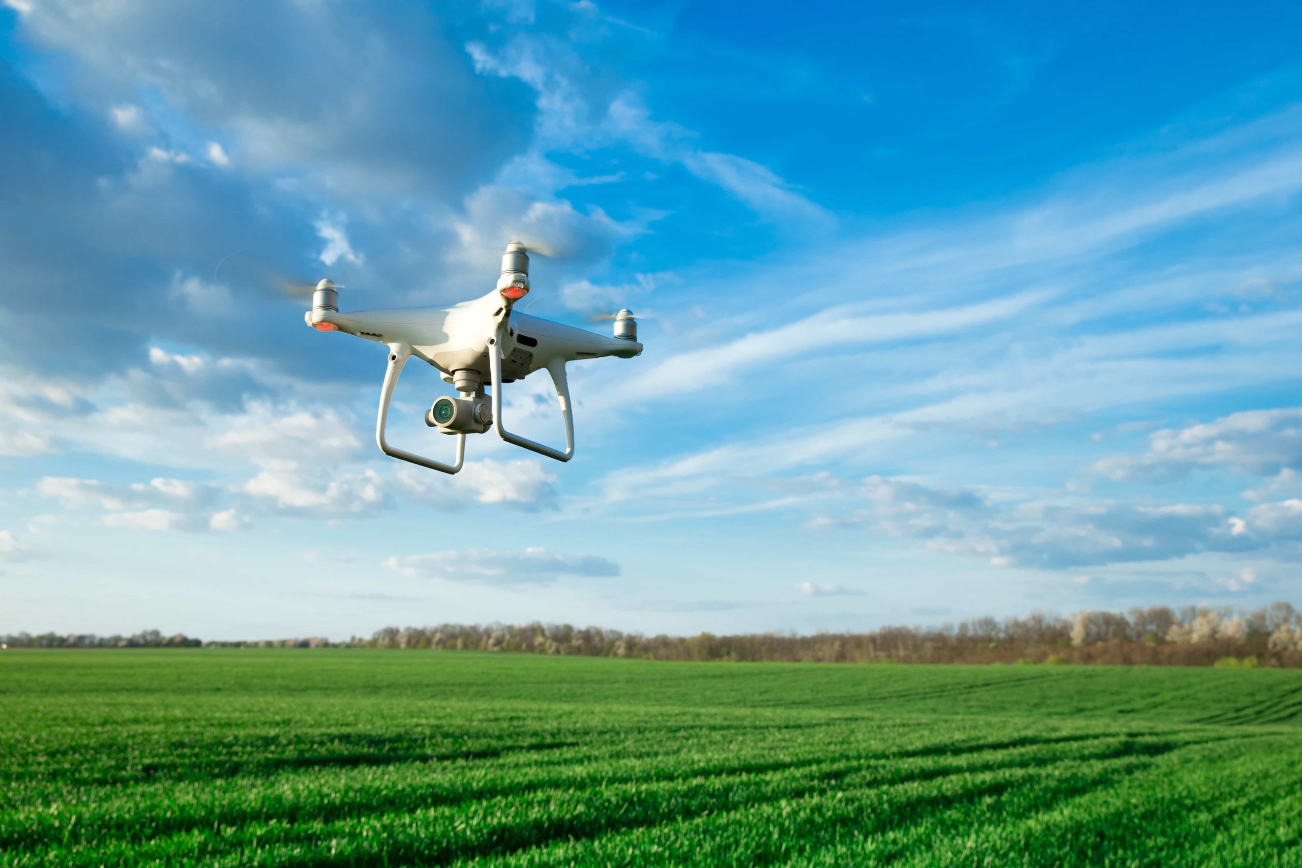
Aerial surveillance is increasingly becoming a vital tool in environmental conservation, offering a bird’s-eye view of ecosystems and wildlife. With advancements in drone technology, conservationists can monitor large and remote areas more efficiently than ever before. Drones equipped with advanced cameras and sensors are used to track wildlife, detect illegal activities like poaching, and assess the health of natural habitats.
Wildlife Monitoring and Data Collection
Aerial surveillance allows for detailed monitoring of wildlife populations without disturbing their natural behavior. Drones can capture high-resolution images and videos from above, providing researchers with valuable data on animal movement, population density, and habitat usage. This information is crucial for developing conservation strategies and ensuring the protection of endangered species.
Detecting Illegal Activities and Poaching
Drones equipped with thermal imaging technology are highly effective in detecting illegal activities, such as poaching. Poachers often operate under the cover of darkness, making it difficult for ground patrols to detect them. However, thermal drones can easily identify the heat signatures of humans and animals, even in low-visibility conditions. This capability allows conservationists to respond quickly to potential threats and protect vulnerable wildlife.
Assessing Environmental Health
Aerial surveillance is also essential for assessing the health of ecosystems. Drones can be equipped with various sensors to measure environmental factors like temperature, humidity, and air quality. This data helps conservationists monitor changes in ecosystems over time and identify areas that may require intervention. The ability to gather real-time data from hard-to-reach locations makes drones an invaluable tool for environmental monitoring.
Mapping and Habitat Restoration
Drones play a crucial role in habitat mapping and restoration efforts. Aerial imagery captured by drones can be used to create detailed maps of natural habitats, helping conservationists identify areas in need of restoration. This technology also allows for the monitoring of ongoing restoration projects, ensuring that interventions are successful and sustainable.
Emergency Response and Disaster Management
In addition to conservation, aerial surveillance is critical in emergency response and disaster management. Drones can be deployed quickly to assess damage from natural disasters, such as floods or wildfires, and locate animals that may need rescue. This rapid response capability is essential for minimizing the impact of disasters on wildlife and their habitats.
Future Prospects of Aerial Surveillance in Conservation
The future of aerial surveillance in environmental conservation is bright, with continued advancements in drone technology expected to enhance its effectiveness further. As drones become more sophisticated and affordable, their use in conservation efforts will likely expand. Future developments may include more advanced sensors, longer flight times, and improved data analysis capabilities, making drones an even more powerful tool for protecting our planet’s ecosystems.
Conclusion
Aerial surveillance, particularly through the use of drones, is transforming environmental conservation by providing unprecedented access to data and insights. The integration of technologies like thermal imaging has made drones even more effective in monitoring wildlife, detecting illegal activities, and assessing ecosystem health. As drone technology continues to evolve, its role in conservation will only grow, offering new possibilities for protecting and preserving our natural world.
Keep an eye for more news & updates on BuzzsLash!